Pristine or Privilege?
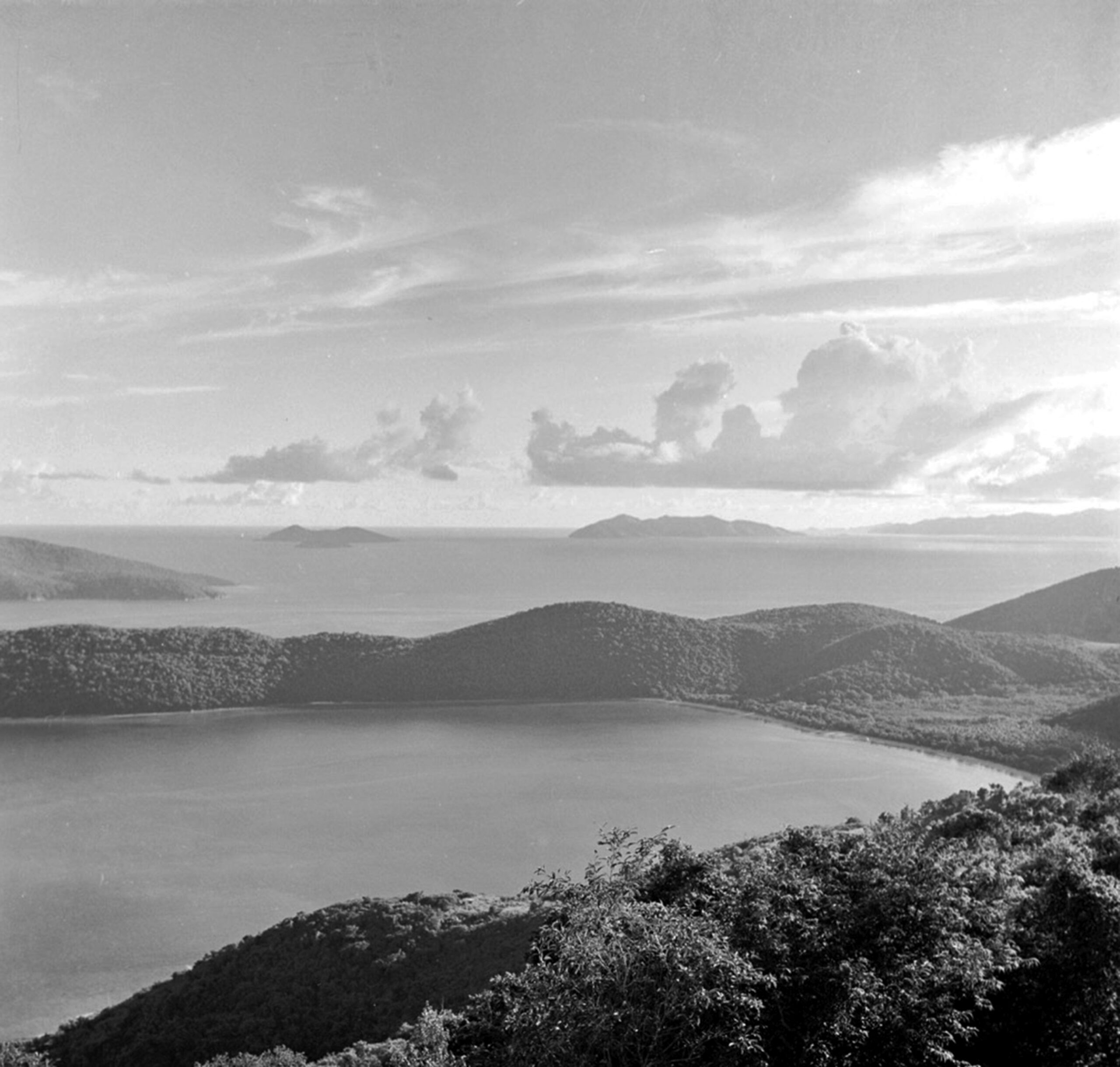
As the Virgin Islands faces what early predictions suggest may be a supercharged hurricane season, it is worth noting the potential impacts of storms and the ensuing runoff on Magens Bay.
“There is a dire need to act now to address stormwater management and protection of the beach and adjacent waters of the bay,” Darlan Brin, planning professional and former executive and later commissioner of the predecessors to the Department of Planning and Natural Resources, wrote in 2013 before the devastating 2017 dual Category 5 hurricanes did their best to destroy first the forest from Irma’s winds and then the bay from Maria’s rains.
Brin’s concerns have not abated in the last 21 years. “Non-point source pollution,” Brin said in a recent conversation, “is the most critical thing DPNR should be monitoring.” He expressed frustration with the lack of enforcement of permits, along with failure after all these years to install traps in the territory’s guts to contain the sediment as is done in other jurisdictions.
Former Senator and Attorney General Iver Stridiron, whose residence is perched on the hillside with an enviable view of the bay, recently remarked that the beach was “not the same color” as when he was young. “It’s grayish, not the bright white sand that it used to be.”
Stridiron is one of the people who was on the front line fighting back development in the mid-80s when, in the Legislature, he voted against spot zoning the southeastern end of Magens Bay from residential to commercial to allow for a resort to be built a few dozen feet from the shoreline.
Likewise, former Public Works Commissioner Darryl Smalls expressed concern about the changes he’s seen over his lifetime. “When I go in water, very often I can’t see my feet anymore.” Smalls, who grew up playing at the beach, said he was concerned that “the natural beauty and the creatures who live in the bay are in danger until we address that runoff.”
Not unlike spot zoning, which can be lucrative for some, a paltry staff of grossly underpaid enforcement personnel sharing one or two vessels can lead to a hillside to shoreline free-for-all for the privileged.
One example occurred in 2002 when beachgoers and Magens Bay staff watched in horror as a huge residential development was gradually erected above the beach known as Little Magens. It was hard not to notice at the time the big brown pools in the otherwise clear turquoise sea whenever there was a downpour.
One attendee at a Magens Bay Authority Board meeting 22 years ago described the area in front of the project as looking like a lake bottom from all the sediment.
Then MBA Board Chair Edmund Penn expressed disappointment at that board meeting called specifically to address developments of particular concern on either side of the bay, that no one from the Department of Planning and Natural Resources showed up for. “It’s not because they didn’t know about it,” he said.
History repeats itself continually when no one from DPNR shows up at current board meetings or public “town hall” type events. With approximately 170 employees, it is difficult to justify the lack of attention, at least for a two-hour monthly board meeting.
The late Ed Towle, former director of the Caribbean Research Institute at the University of the Virgin Islands and founder of the Island Resources Foundation, nailed part of the problem in a 2003 paper entitled History of Protected Area Initiatives in the U.S. Virgin Islands.
“Plan after plan has fallen victim to legislative disinterest and a lack of vision about the multiple advantages of environmental conservation. Since World War Two, the U.S. Virgin Islands has been living out its own special development success story that has, unfortunately, too often obscured its parallel ‘tragedy of the commons, with too many good intentions gone astray,'” he wrote.
Towle was waxing prophetic when he said: Local conservation leadership has been a lonely and discouraging task during much of the five decades since 1950. Virtually every high-priority site currently identified for immediate protection carried a similar ranking in similar environmental surveys for the past 30 to 40 years.
And yet, he said, while the studies have continued:
— buffer zones have shriveled,
— pristine sites and habitat for threatened species have been lost,
— biodiversity has been reduced,
— invasive species have prospered, and
— land acquisition costs have risen geometrically.
Certainly, the task of protecting unique natural resources in the U.S. Virgin Islands is much harder now than when actions were initially proposed, Towle wrote 21 years ago.
Imagine what the Virgin Islands have lost since then, most particularly in the bay known around the world for its immense beauty.
Even more telling, which is part of Towle’s fastidious historical chronicle, is that the idea of a Virgin Islands Territorial Park was floated 52 years ago in 1972.
Quite unexpectedly, in 1972, Senate Act No. 3190 was proposed, calling for establishment of a “Territorial Park System” for the Virgin Islands. The objectives of the Act, sponsored by then-Senator Virdin Brown, are landscapes and seascapes typical of the Virgin Islands, the habitats of wildlife and sea life and historical and archaeological sites.
“Unfortunately, the Act also reorganized the relatively new Department of Conservation and Cultural Affairs (DCCA), predecessor to the current Department of Planning and Natural Resources (DPNR), and the administration of then-Governor Melvin Evans was not interested in the proposed administrative reorganization. Therefore, apart from some serious planning, nothing happened. It was, in retrospect, a good idea whose time had not yet come,” Towle wrote.
Meanwhile, wanton housing development has not been the only encroachment. In the summer of 2000, in a routine dog walk and sea bath at the beach favored for such things on the northern side of the bay, I was shocked to find the little beach known as Platform, because of a small dock-like wooden structure erected at the bottom of some wooden steps that led down from what was then a public access side road to the white sandy beach, had disappeared.
Not far to the north was a huge never-before-seen stone breakwater. A call to then Coastal Zone Management chairperson Albert Paiewonsky led to a promise that the structure built, he confirmed, without the proper authorization would be taken down rock by rock.
Using a permit issued from DPNR to repair underwater cables, AT&T had erected the seawall, according to a neighbor, under cover of darkness.
A local physician whose property abutted the jetty said at the time the story broke, he could not comprehend how work on the breakwater could have proceeded for months without DPNR’s knowledge. “For four months they broke all those stones and nobody knew about it?” he said, adding that he had talked to the contractor who was working for AT&T when the construction first started and was told they were building the 100-foot rock wall to protect cables in the area. He said AT&T, years before, had poured large areas of cement in the same area to protect the cables, only to have the cement wash away during Hurricane Marilyn.
It would take more than a year for Paiewonsky’s promise to be kept. Meanwhile, between the construction and the deconstruction, it will never be known what was lost.
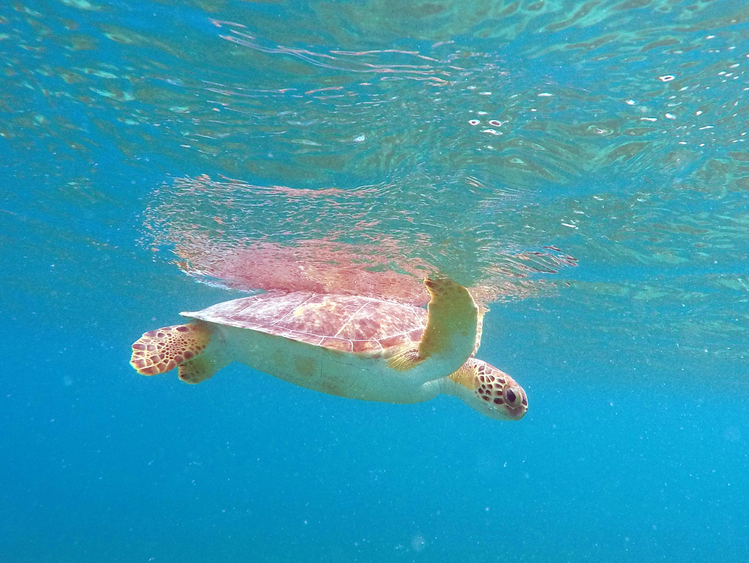
However, in 2004, when a fine of $450,000 was levied against AT&T for violating the Clean Water Act and the Rivers and Harbors Act, the complaint filed in then-District Court by the U.S. government stated, “The unauthorized construction of the breakwater damaged sensitive marine habitat and caused harm to organisms in Magens Bay. Among other things, the breakwater prevented the adjacent beach from being used for nesting by the hawksbill sea turtle, which is an endangered species.”
However long, and however much might have been lost when Towle concluded, “Over the past 40 years or so there have been at least 10 attempts in the Territory to identify, list, publicize and gain public approval for setting aside ‘valuable,’ ecologically important or otherwise remarkable landscape, and later seascape, and even submerged land features as high priority candidates for inclusion in a territorial system of parks, recreation areas or reserves of one kind or another. Most have more or less failed to get much beyond the list state.”
We finally have established and promulgated that park system he clearly longed for, under the umbrella of DPNR. It is more important than ever that communication and cooperation between the TPS and MBA flow like never before. That could include a designated representative from DPNR empowered to speak and participate on behalf of the agency and whose job description would include attendance at MBA board meetings.
We still have much to lose.

Related Links:
Op-Ed: A Brief History of Magens Bay, Part I: Fairchild’s Dream
Op-Ed: A Brief History of Magens Bay: Part 2
Op-Ed: A Brief History of Magens Bay: Part 3


