Recently, one of my hikers asked me to expand on the naming of estates, bays, and the interpretation thereof of the names or the history of St. Thomas and St. John. I grew up calling my birthplace St. Thomas. Did any of us ever think about how the island got its name?
Johan Lorentz Carstens, a Danish planter native of St. Thomas (1705-1747), mentioned in his book, “St. Thomas in Early Danish Times: A General Description of all the Danish, American or West Indian Islands,” that St. Thomas was named after a pirate.
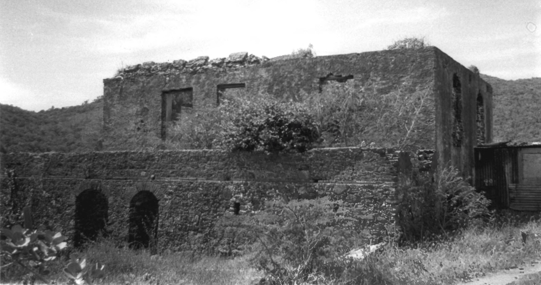
Before the Danes settled St. Thomas in 1671, the island was a pirate outpost. “The name of the English Captain who first discovered the island is supposed to have been ‘Thomma’; he named the island after himself, calling it St. Thomas, the name by which it is still known to this day,” wrote Lorentz Carstens. Like St. Croix’s colonial development of quarters and estates, the islands of St. Thomas and St. John were no different, with the land divided into quarters, followed by establishing estates.
However, the early settlers of St. Thomas were planters, and they were more preoccupied with clearing the land and planting their first crops than with establishing a town. The Danish West India Company was chartered in establishing a permanent colony on the islands. The towns were first laid out with street names, and historic buildings were named, such as Fort Christian in honor of the Danish King Christian V, and places like Savan (Savanne) were named for “free colors” and slaves, and the topography of the islands’ landscape with estates named by planters.
Talking about names, let me mention some of the bays on St. Thomas and St. John that residents might not know how they got their names. One of the most popular beaches on St. Thomas is Magens Bay. It was a Dane named J.M. Magens, a native of St. Thomas and well-educated, who named the bay after his son, Magens. On the island of St. John a Dutchman, Duurioo by name, acquired the adjacent tract of land and found a large grove of cinnamon trees (Kaneelboom in Dutch) growing on the property, which suggested the name of the bay and estate.
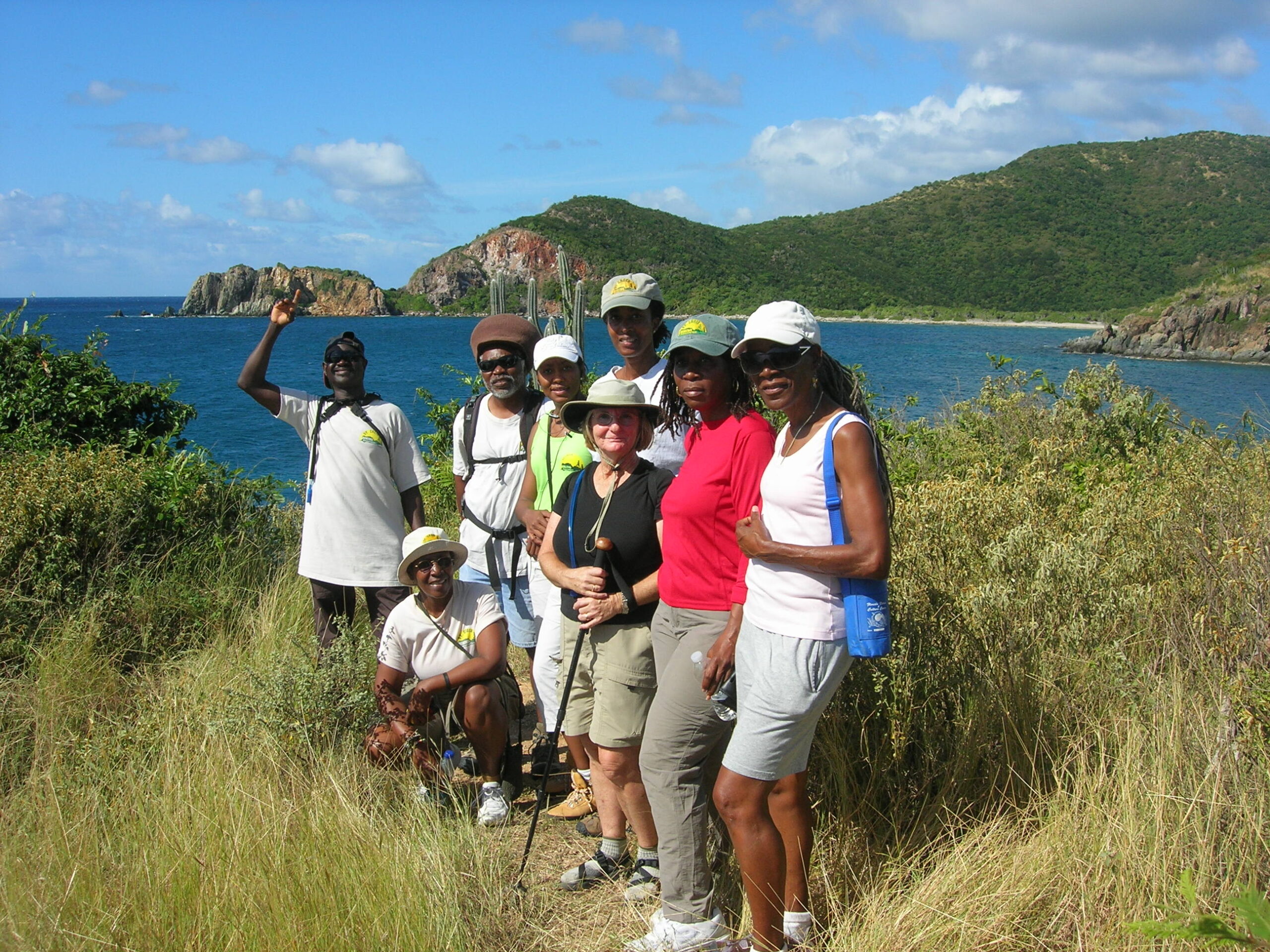
Then we have Jumbie Bay, which separates from Denis Bay on the east and west point of Trunk Bay in the Cruz Bay Quarter of St. John. The name Jumbie Bay is rendered as Jambee, Jumbie, Jumbi, Jambu, Jumbo, Schambu, and Zhombo, all from the West African word “Njambi” (supernatural being).
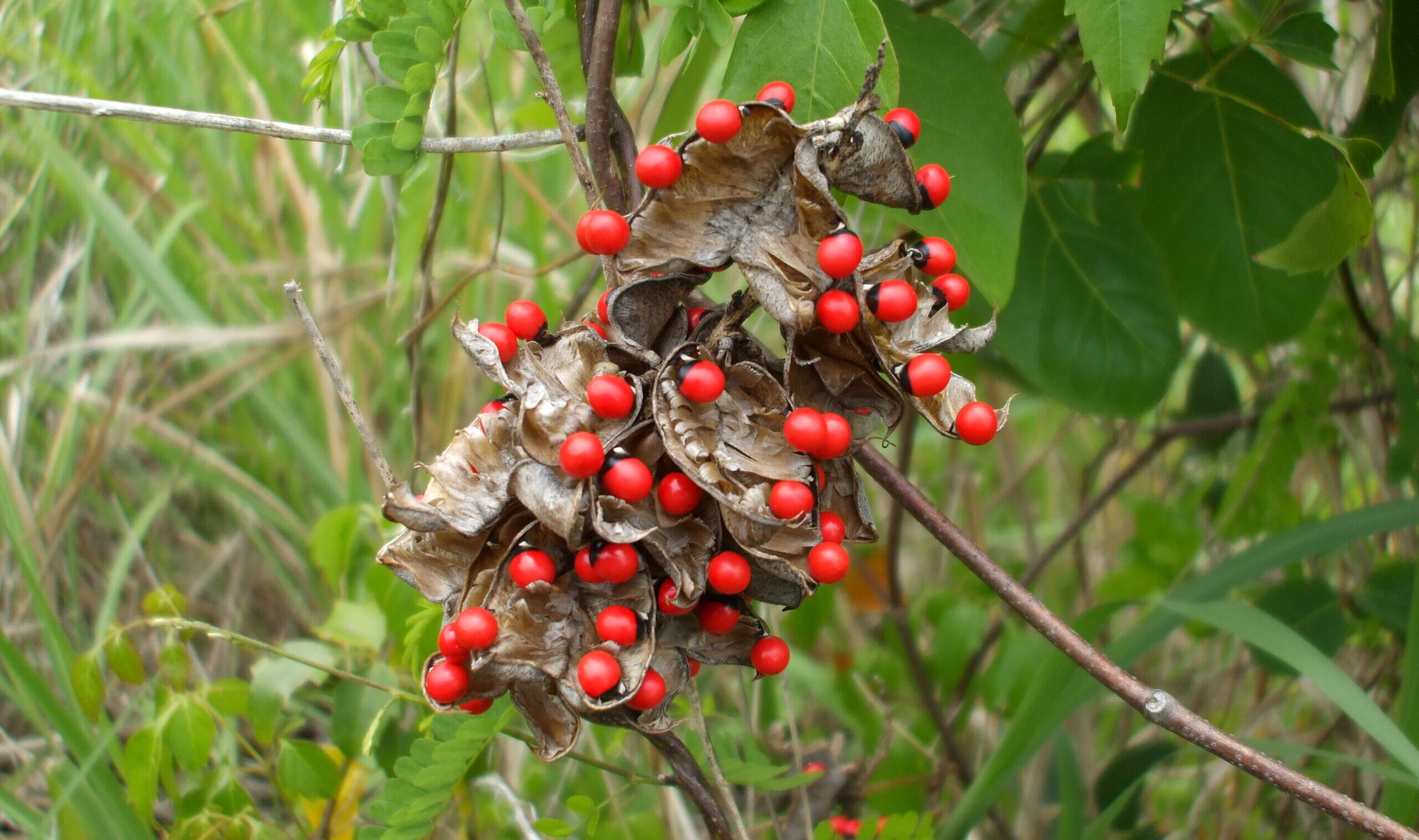
One particular gut I recalled on St. Thomas was named Jumbie Gut. This watercourse crosses French Bay Road and drains into the west-southwest to Soldier Bay, on the south shore of St. Thomas. The name refers to a vine (abrus precatorius) with red and black seeds. The Jumbie bean seed was once behind popular folklore in Virgin Islands culture, and is why you have to walk into your house backward if you don’t have seeds in your lamp. The name came from the West African Nzambi, or spirit.
John Brewers Bay was one of my favorite beaches as a child. In the 1970s, the beach coastal environment was impacted as a result of the expansion of Cyril E. King Airport. The name “John Brewers Bay” or “John Brucebay” was interchangeable by local people, with John Brewers Bay Estate the same as John Bruce Estate. Early colonial names were “Baye de Jean Krameur Bay” (Bellin), or “Ian Kramews Bay” (Old), and in Dutch, “Jan Kramers Baal.”
Names were also given to the land laid out of the islands’ topography. For example, Black Point, which Brewers Bay falls in between, is a neck or peninsula about 100 yards wide, 70 feet high and long near Adelphi on the south shore of St. Thomas.
Black Point marks the western limit of the Southside Quarter of St. Thomas. The early Dutch navigators named the point “Swarte Punt.” The Danish called the point “Punta Negra.” In Spanish Derrotero, it marked Black Point. The name Black Point came from the black volcanic rocks, the geological formation of the St. Thomas landscape. In addition, not too far from Black Point is Bonne Esperance Estate (French name meaning Good-Hope; not to be confused with Goodhope Estate in the West End Quarter of St. Croix). The estate, which is located on a ridge 671 feet above sea level, overlooks Perseverance Bay some 500 yards south-southwest of the West End Quarter of St. Thomas.
Since we are talking about the West End of St. Thomas, Bordeaux estate comes to mind. The name Bordeaux comes from the first Frenchmen who settled on St. Thomas, and the place is still called Bordeaux today. Other sources mentioned that Bordeaux was named for a colonial family; also spelled Bordeau and Bourdeaux.
Also, Buddhoe or Bordeaux was the enslaved African Crucian general of the slave insurrection of 1848, after which Governor General Peter von Scholten was forced to emancipate St. Croix. Then there is Bordeaux Bay, a semi-circular cove 1/8 of a mile wide, 1/4 of a mile east of Bordeaux Point on the northern shore of St. Thomas, named for the estate, and sometimes spelled Bourdeaux. To distinguish the estate from the smaller Little Bordeaux Bay, 3/8 of a mile east, this was called by Van Keulen “Bordeaux Groote Bay,” and by Bellin, “Grande Baye de Bordeaux. “Bordeaux Bakke” was the Danish name of the Bordeaux Mountains on the island of St. John.
Thus, the old map of St. Thomas also shows Dutch names such as Johannes van Beverhout Plantagie, Anna de Wints Plantagie, and Snelfelts Bay. The Dutch names of St. Thomas represent their presence on the island. Many were also members of the Dutch Reformed congregation in this region of the world. During the colonial period of the Virgin Islands, names were a very important element of a person’s status in society. It showed who was obligated to pay their taxes. Nonetheless, some of the old plantation names survive on St. Thomas to this day, such as Mariendal, Frydenhoj, and Anna’s Retreat.
Less correctly, Bon Esperance, or “Buena Esperanza” in Spanish, and Bone Esperance in French, means “Good Hope.” Lameshur Estate is hidden deep on the south coast of St. John from an elevation of 200 feet above sea level on the shoulder of a ridge from the Bordeaux Mountains. Historically, this estate once had its own Moravian Mission School for slaves, surrounded by wild bay rum trees. There is an estate house still on the property overlooking the bay. The name of the estate signifies “Lemon-shore,” or Limeshore. Converted into French it is “La Measure” (the Measure), or “La Masure” (the old shack).
Names are important to people and their culture. “A good name is better than precious ointment, and the day of death than the day of birth,” wrote King Solomon around 935 BC (Ecclesiastes 7:1). When streets were named in the early part of St. Thomas colonial history by the Danes, the enslaved population had no say in the names. With the street addressing initiative led by the Lieutenant Governor’s Office, the residents of these islands have now the opportunity to name streets if there are no names in their area.
In 1922, a committee on St. Thomas issued a report on renaming streets. Dr. Knud Knud-Hansen led this committee. This information can be found in the National Archives in Washington, D.C.
Why rename some of the streets on St. Thomas? According to the report, some of these names were placed without sense or meaning. Some of them didn’t have any meaning at all to the English-speaking population of St. Thomas. Furthermore, some names were difficult or impossible to pronounce. As a result, the local population of St. Thomas never used many of the names. The late Dr. Ruth M. Moolenaar, one of my favorite teachers, explained this in her book, titled “Legacies of Upstreet.”
Moolenaar mentioned that locals had difficulties pronouncing and writing Danish names. She further mentioned that streets and sections of the town were used primarily as points of reference for local people. She said “Dronningens Gade, the principal thoroughfare of Dronningens Quarter, was called ‘Main Street,’ while Wimmelskaft Gade, north of Dronningens Gade, was named ‘Back Street.’” Kongens Quarter, east of Fort Christian, was identified by locals as “up the street,” which was later shortened to “Upstreet,” and Kronprindsens Gade, the extension of “Main Street” west of the Enid M. Baa Library, was called “Downstreet.” Regardless of the reason, the designation “Upstreet” stuck.
As we can see, the names of estates, bays, streets and the layout of the Virgin Islands topography are important to the history and the culture of a people. A name is not just a name; it is a kalaloo of different nationalities.
Editor’s Note: Read Part 1 of How Estates Got Their Names here. Read Part 2 here.
— Olasee Davis is a bush professor who lectures and writes about the culture, history, ecology and environment of the Virgin Islands when he is not leading hiking tours of the wild places and spaces of St. Croix and beyond.


