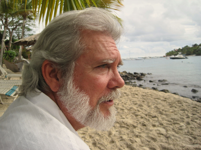
“The streets and the park are exactly the way they were laid out in 1766,” he said.
In 1766, Danish Crown surveyor Julius von Rohr surveyed the area so the town of Cruz Bay could be developed. Knight said that while there were some buildings already there, the survey made it official.
Coral Bay was settled even earlier, in 1718, and the first Danish claims date to 1672, Knight said.
He applied for the historic district designation in July 2012, but said the process is long. The State Historic Preservation Office will make the final decision.
Knight said that with the designation, funding for preservation and related activities will become available. Additionally, signs pointing out the historic sites will be installed.
However, he pointed out that the historic district designation doesn’t come with a raft of rules and regulations that would change how people do business.
“The guidelines are very liberal,” he said.
.jpg)
Knight said that the Recorder of Deeds office on St. Thomas has the only complete copy of that map with the original names and von Rohr’s notes. Another copy, which is more easily reproduced, is in the Danish government archives in Copenhagen.
Using a small federal grant funded through the territory’s State Historic Preservation Office, Knight added more information about the old part of Cruz Bay to his already vast store of St. John history.
The site where the battery sits anchored the town on the northwest corner. It ran along the waterfront to the cemetery. Heading east, Veste Gade was the northern boundary with the street with that name continuing on to where it makes the bend near the Fish Trap Restaurant. On the south side, the old Gallows Point Cemetery marks the boundary of the old town. And Cruz Bay Harbor is the western boundary.
.jpg)
The historic part of Cruz Bay has changed significantly over time, but Knight said some older structures remain in addition to the Battery. Knight cited the building that houses Mooie’s Bar, Albert Sewer’s old store inside Fred’s Bar and Restaurant, the Sprauve Cottage, and Elroy Sprauve’s house as buildings people walk by every day without understanding their significance.
In discussing Elroy Sprauve’s house near Lemon Tree Mall, Knight said there is an old brick oven in the backyard that was built on the ruins of an even older one.
The oldest free colored cemetery in the territory is located up a drive off what is now called Bay Street. Knight said it dates to the mid 1800s.
The cistern at the entrance to the Battery dates to 1922 and was built by the U.S. Navy to provide water to Cruz Bay residents.
“They are too close to sea level to have wells,” Knight said.
Wharfside Village shopping center incorporates the ruins of what were warehouses and blacksmith shops owned by inland plantation owners. Knight said they needed access to the sea to ship their crops so they bought waterfront land in Cruz Bay.
Knight said that by 1803, Cruz Bay was a thriving village with two free colored sections. One was located along Veste Gade and the other on what was then Strand Street, now Bay Street.
According to Knight, the move from slavery to freedom was one of the impetuses for Cruz Bay’s growth. He said that as former slaves gained their freedom, they left St. John because they didn’t find employment opportunities. The development of the town created more work possibilities.
The Cruz Bay dock was added in 1838, but Knight has a bone to pick with the way the surrounding area was done when the V.I. Port Authority rebuilt the dock in the 1990s. He said the cannon that sits at the inland end of the dock pointing toward the sea historically had its business end buried in the sand and was used as a hitching post.
“It plays into the tourist mentality of pirates,” he said, adding that St. John is a welcoming place and the cannon should reflect that.


