Two strong earthquakes rattled the Caribbean Tuesday, according to the U.S. Geological Survey, but neither they nor the clusters of smaller quakes near the Cayman Islands and Puerto Rico prompted tsunami warnings for the U.S. Virgin Islands or other islands in the region.
At 3:10 p.m. Tuesday (Atlantic Standard Time) a quake measuring 7.7 on the Richter scale hit about 77 miles northwest of Jamaica. That earthquake was felt as far away as the Florida Panhandle, according to the USGS.
At 5:55 p.m. Tuesday a 6.1 temblor struck 35 miles east of the Cayman Islands.
The Cayman Islands quake was one of a cluster of smaller earthquakes ranging from 4.4. to 4.9 on the Richter scale that struck Tuesday. And Puerto Rico continued to feel the ground move Tuesday from a cluster of smaller seismic events ranging from the 2.7 to 3.7.
But though, as old-time rocker Jerry Lee Lewis sang, there was a whole lot of shaking going on, NOAA’s Pacific Tsunami Warning Center did not issue any warnings for the region.
The recent spate of activity is not unusual. The Caribbean Basin is where the North American and Caribbean tectonic plates grind against each other. The point where the two plates meet, called the “Oriente Fault,” runs south of Cuba, is the scene of the most recent activity.
The recent earthquakes have been big enough to catch the attention of island residents, but the region sees smaller activity, earthquakes in the 2.0 to 3.0 range, almost daily.
V.I. residents can be warned of dangerous conditions, including tsunamis, by signing up for Alert V.I. at the VITEMA website. Alert V.I. sends alert messages to subscribers cell phones or email.
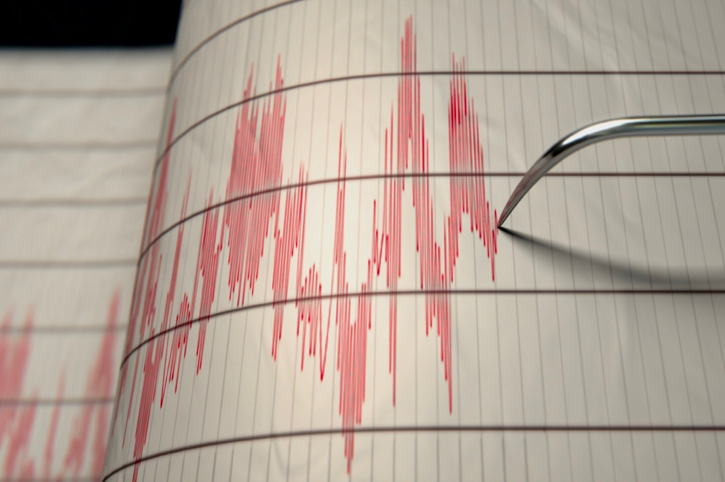
Those who want to track seismic activity in the Caribbean or around the world can do so at the U.S. Geological Survey’s website.


The reason why tsunami warnings were not issued was because of the type of earthquake it was. I am not a scientist; but I have been studying scientific studies related to seismic activity around the Caribbean and especially the Caribbean and North American plates for several years.
What happened was a “strike-slip” earthquake – two tectonic plates moving horizontally against each other in opposite directions with little or now vertical offset. It’s the vertical offset that creates tsunamis, where two plates grind against each other in opposite vertical directions (where one plate suddenly moves higher or lower than the other). St. Croix is near a subduction zone on the eastern end of the Caribbean Plate. Here, the Caribbean Plate is pushing over top of the North American Plate with some potential for creating a tsunami. This is why it is CRITICALLY important for everyone on St. Croix to study and understand evacuation routes to higher ground no matter where you are on the island.
As a rule of thumb, you should be at least 60 feet above sea level and be able to get there in 6 minutes or less BEFORE a tsunami hits any shores on St. Croix. Topological maps showing height above sea level are available on the web. Have an evacuation plan for WHEREVER you are on St. Croix and every other island in our Caribbean neighborhood.